
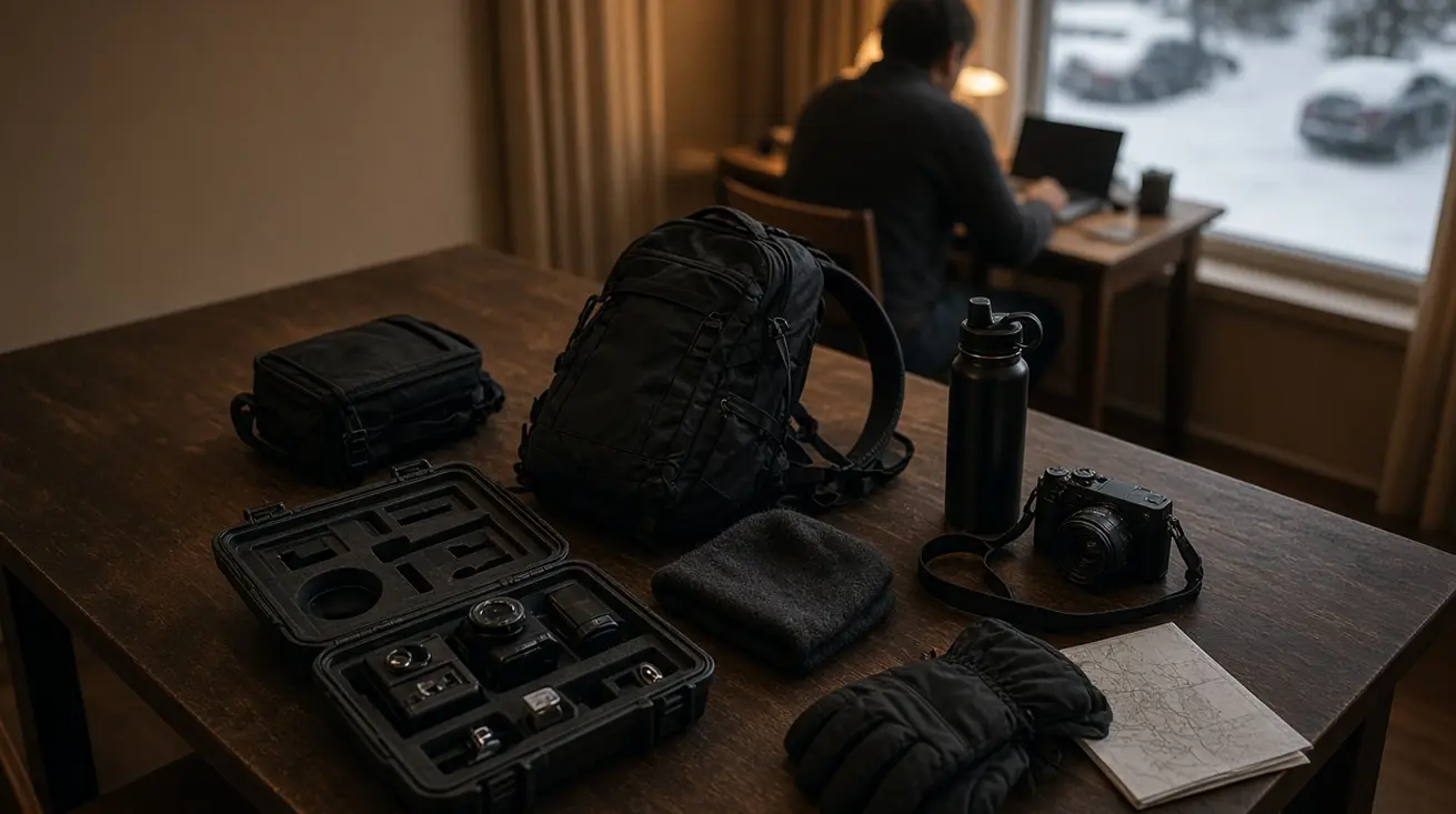
Planning winter trails across New Brunswick requires reading the physics of the snowpack rather than trusting a date on the calendar. When a cold continental air mass collides with Atlantic moisture over the province's river valleys and uplands, the surface beneath a dog sled or pair of cross-country skis can shift from dry powder to glaze within a single storm cycle. Understanding how terrain, elevation, and storm tracks govern these changes allows mushers, skiers, and snowshoers to match their gear & prep to the actual base underfoot.
From Logging Roads to Groomed Runs: The Evolution of New Brunswick's Winter Corridors
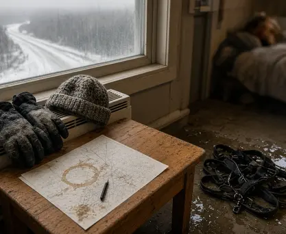
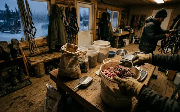
Many of the wide, steady grades used for dog sledding and cross-country skiing in New Brunswick today began as working winter roads. Timber crews cut these inland corridors to haul heavy loads over frozen ground and compacted snow across boggy or rugged terrain that remained impassable during the spring thaw. While horse-drawn logging sleds carved out the primary commercial haul routes, Acadian trappers and rural couriers relied on working sled dog teams to navigate narrower bush lines and overland supply links.
Drawing on archival timber-hauling records from the Chaleur uplands and Miramichi river valleys, historical winter travel occupied a December-through-March window, though localized thaws still tested the continuity of the base. Those early operators selected routes for steady grade, natural shelter, and frozen drainage crossings. When modern recreational trail clubs and dog sledding kennels adopted these historic alignments, they inherited both the advantages of the old roadbeds and their microclimate vulnerabilities.
An old logging road holds its value for family adventures and distance touring because its graded substrate requires less snow depth to cover rocks and stumps than raw backcountry forest. However, modern timber cuts, wider culvert openings, and shifting Maritime storm tracks mean that a corridor's snow base no longer matures at the same pace from end to end. Open plantation cuts and south-facing bridge approaches lose their cover first during a mid-winter warm spell, requiring today's mushers and trail groomers to evaluate corridor exposure segment by segment rather than assuming an unbroken mid-winter snowpack.
Maritime Air Masses and the Three Distinct Snow Zones of New Brunswick
New Brunswick sits at the battleground between frigid continental air sweeping southward out of Quebec and moisture-rich low-pressure systems tracking up the Bay of Fundy and the Gulf of St. Lawrence. When these systems meet, the vertical temperature profile of the atmosphere dictates what actually hits the trail. Cold air pooling near the ground can preserve an existing base while Atlantic moisture supplies heavy precipitation aloft, yet a wedge of above-freezing air riding over a sub-freezing valley floor frequently turns falling snow into ice pellets or freezing rain even while the trailhead thermometer reads below zero.

Because elevation, inland distance, and wind exposure alter how these air masses behave at ground level, winter travel in New Brunswick divides into three functional snow zones:
- The Northern Uplands (Restigouche and Mount Carleton regions): Higher elevations and deeper continental influence keep ambient temperatures consistently colder here than along the coast, providing the longest seasonal preservation of a dry, deep snow base.
- The Central River Valleys (Saint John and Miramichi basins): Deep valley topography traps dense cold air near the surface, which helps hold an established trail base, though precipitation quality during individual storms remains sensitive to warm atmospheric layers pushing inland aloft.
- The Southern Coastal Zone: Direct exposure to Bay of Fundy marine air brings frequent moisture alongside temperatures that hover near the rain-snow transition, producing wide swings in base depth and surface density.
Distance from salt water alone does not determine how fluffy or dense a snowfall will be. Snow-to-liquid ratios depend on the temperature profile inside the cloud layer where crystals form, alongside surface wind speeds that shatter delicate dendrites as they fall. Wind also reshapes the deposit immediately after a storm: a gale can strip an exposed coastal corridor or upland ridge down to bare ice while building deep, dense drifts just inside an adjacent spruce stand. Note that regional weather station telemetry only reflects conditions at the instrument site, leaving valley temperature inversions and ridge-level wind scouring invisible without an on-trail inspection.
Freeze-Thaw Mechanics: What Temperature Swings Do to the Trail Base
The defining physical process on a Maritime winter trail is the crust chain: Atlantic rain wets the New Brunswick trail base, an Arctic return locks it into ice, and grooming must create usable loose snow before compaction can restore the running surface. When rainwater or meltwater percolates downward into the snowpack, it coats individual snow grains; as a trailing cold front plunges temperatures back below freezing, that liquid water forms rigid ice bonds between the grains. If freezing rain finishes the storm, it lays a dense glaze across the top before the saturated underlying layer freezes solid.
This melt-freeze metamorphism alters the physics of every winter sport on the corridor. On a dog sledding trail, smooth, hard-packed ice sections dramatically reduce runner friction and accelerate sled speeds, making downhill control demanding on turns. Worse, when a thin surface crust breaks under weight, its jagged ice edges abrade dog paw pads with every stride. Outfitting the team with durable dog booties protects the skin from direct scraping, but footwear alone cannot mitigate the impact of punchy, uneven ice or runaway sled momentum; operators must mechanically break the trail and manage team speed with heavy drag mats.
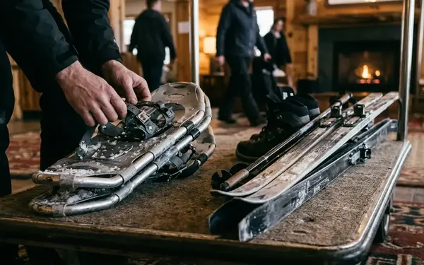
For skiers and snowshoers, a refrozen granular base shifts the priority from flotation to edge purchase. Classic and skate cross-country skis lose their lateral bite on glazed tracks, turning modest hills into awkward slides, while snowshoers must rely on steel crampons and perimeter traction teeth to hold a traverse across firm slopes.
Assess Saturation Before Grooming: Air temperature dropping below freezing does not mean a rain-soaked trail base has frozen all the way to the ground. Pulling heavy grooming gear over a surface crust that still hides liquid water pockets underneath will punch ruts deep into the sub-base and create frozen troughs that last for weeks.
Rehabilitating a frozen trail requires matching mechanical force to the depth and hardness of the ice. A light, snowmobile-towed compaction pan used by a dog kennel works well to level and firm fresh loose snow, but it slides harmlessly over a frozen slab without breaking the surface bond. Restoring a solid melt-freeze crust requires an industrial toothed drag or a powered tiller capable of cutting into the ice, fracturing the frozen grains, and churning up loose granular snow that can be redistributed and re-compacted into a flat, runnable cushion—provided enough snow depth remains above the dirt to prevent the teeth from pulling up rocks.
Matching Your Winter Sport to the Right Seasonal Window
Choosing the right week for a winter outing means aligning the structural requirements of your activity with the seasonal evolution of the snowpack, then refining your gear for the crystal structure on the ground.
The Month-by-Month Snowpack Progression
December functions primarily as a base-building month across the province. Early snowfalls mask boulders, exposed tree roots, and open drainage ditches long before frost and repeated compaction create a load-bearing bridge over rough terrain. By late January and throughout February, cumulative snowfall and sustained cold establish the deepest, most reliable trail bases of the year—particularly across the interior uplands, though mid-winter storm tracks still govern day-to-day surface texture. When March arrives, stronger solar radiation and diurnal temperature swings initiate regular melt-freeze cycles, transforming the surface into coarse corn snow that locks up hard in the frosty morning hours and softens into forgiving, slow-gliding slush by mid-afternoon.
Regional Route Selection for Mid-Winter Trips
When planning multi-day dog sledding expeditions or backcountry ski tours during the peak late-January-to-February window, route geography matters as much as the calendar. The northern-route boundary illustrates this clearly: a sheltered Mount Carleton logging-road corridor and an exposed Acadian Peninsula trail can share a mid-winter calendar date without sharing snow preservation, drift distribution, or sled-running conditions. Inland northern routes offer the most consistent cold-snow preservation for multi-day logistics, whereas coastal corridors along the Acadian Peninsula demand segment-by-segment evaluation for marine temperature spikes, wind-scoured open barrens, and deep drift zones.
Equipment Adaptation by Snow Crystal Structure
- Dog Sled Runner Plastics: Mushers swap out extruded polyethylene runner shoes based on crystal angularity and free moisture content. Cold, freshly fallen angular crystals create sharp dry friction that demands harder, high-density runner compounds, whereas wet, transformed spring snow creates capillary suction behind the runner that requires softer, grooved, or wax-treated plastics to break the water bond.
- Cross-Country Ski Wax Profiles: High-humidity Maritime snow transforms rapidly after falling. While cold hard kick waxes grip the fine needles of fresh sub-freezing powder, tracks that have gone through a melt-freeze cycle into coarse granular ice require sticky klister compounds applied strictly according to the manufacturer's temperature bracket.
- Snowshoe Deck Sizing: Flotation requirements scale with the combined weight of the hiker and pack relative to snow density. Breaking trail through deep, uncompacted woodland powder in the northern uplands demands large deck surface areas and modular tails, while traveling along a mechanically packed corridor calls for a narrower, lighter frame with aggressive forefoot crampons.
Running a 48-Hour Weather and Trail Audit Before You Head Out
Relying on a smartphone weather icon the night before a trip leaves you vulnerable to hidden trail hazards. A disciplined 48-hour weather and trail audit translates regional meteorology into an actionable go/no-go and gear-packing checklist.
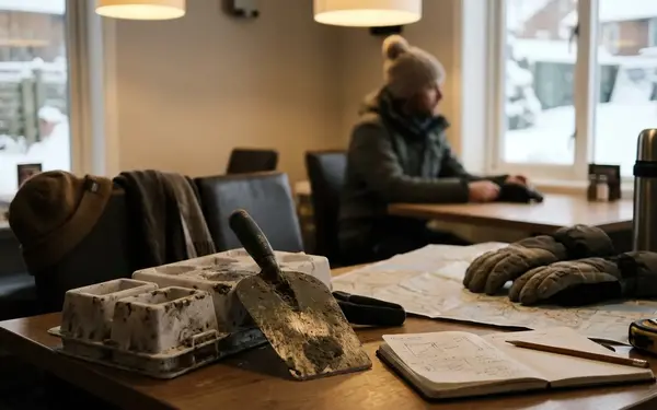
- Establish Seasonal Context and Pull the 72-Hour History (48 Hours Out): Start by reviewing the 1991–2020 climate normals for your destination region to understand baseline expectations, then inspect the preceding 72 hours of hourly station logs using Environment and Climate Change Canada historical weather data. Separate reported rainfall, snowfall, and total precipitation; remember that total precipitation measured in millimeters of water equivalent does not equal centimeters of new snow depth on the trail.
- Audit Elevation, Dew Point, and Overnight Lows (36 Hours Out): Compare the weather station's elevation and coastal proximity against your actual trailhead. A valley-bottom station reporting temperatures slightly above zero may coincide with dry snow up in the hills—or, during an inversion, a cold valley reading may mask warm rain hitting higher ridges. Track the dew point alongside air temperature (a rising above-freezing dew point combined with strong wind accelerates snowmelt rapidly) and verify that overnight minimum temperatures dropped low enough for long enough to refreeze any wet base.
- Cross-Reference Live Telemetry with Local Operators (24 Hours Out): Contact the local cross-country ski club, snowmobile association, or dog sledding kennel for a dated surface observation. Ask three specific questions: when was the corridor last groomed, did that grooming pass happen before or after the most recent precipitation ended, and is the resulting surface dry powder, loose granular snow, breakable crust, or solid glaze?
- Run the Final Departure Morning Check (Day of Trip): Repeat your check of overnight station lows and active wind speeds on the morning you leave to confirm that forecasted freezing occurred and that high winds have not drifted in exposed access roads or open trail segments overnight.
Bookmark the official historical station map and current regional forecast page for your target New Brunswick trailhead right now, and check the preceding 72-hour temperature and precipitation log alongside the local club's latest grooming report before loading your winter gear into the vehicle.


Write a Comment